map
J:COMチャンネル おちゃのこSaiSai おちゃのマップ
2013年、 J:COMチャンネルの関西広域番組で、大阪、神戸、京都、和歌山のイラストマップを担当しました。
毎回VTRや画像の資料から、紹介するポイントを描くのですが、出かけているような疑似体験!
リポーターはお笑い芸人のインディアンス、アルミカン、ブランケットの皆さん。明るく楽しく紹介している雰囲気を届けられるよう心掛け、3年間で約150枚のイラストマップを制作しました。
![](https://mimachihiro.com/wp-content/uploads/2021/01/takatuki.png)
![](https://mimachihiro.com/wp-content/uploads/2021/01/ibaraki.png)
![](https://mimachihiro.com/wp-content/uploads/2021/01/nukata.png)
![](https://mimachihiro.com/wp-content/uploads/2021/01/expocity.png)
![](https://mimachihiro.com/wp-content/uploads/2021/01/nakanoshima.png)
![](https://mimachihiro.com/wp-content/uploads/2021/01/sakai.png)
![](https://mimachihiro.com/wp-content/uploads/2021/01/izumichuou.png)
![](https://mimachihiro.com/wp-content/uploads/2021/01/misakicho.png)
![](https://mimachihiro.com/wp-content/uploads/2021/01/kyoto.png)
![](https://mimachihiro.com/wp-content/uploads/2021/01/saiin.png)
![](https://mimachihiro.com/wp-content/uploads/2021/01/arima.png)
![](https://mimachihiro.com/wp-content/uploads/2021/01/maiko.png)
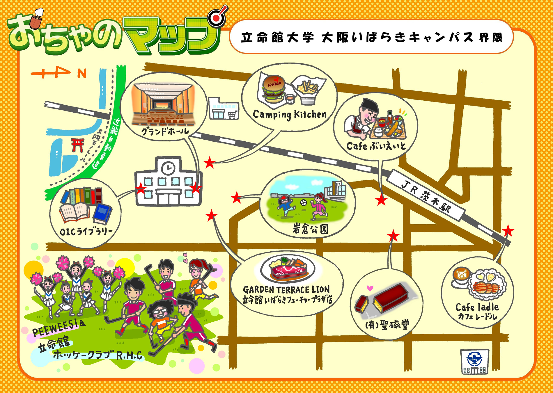
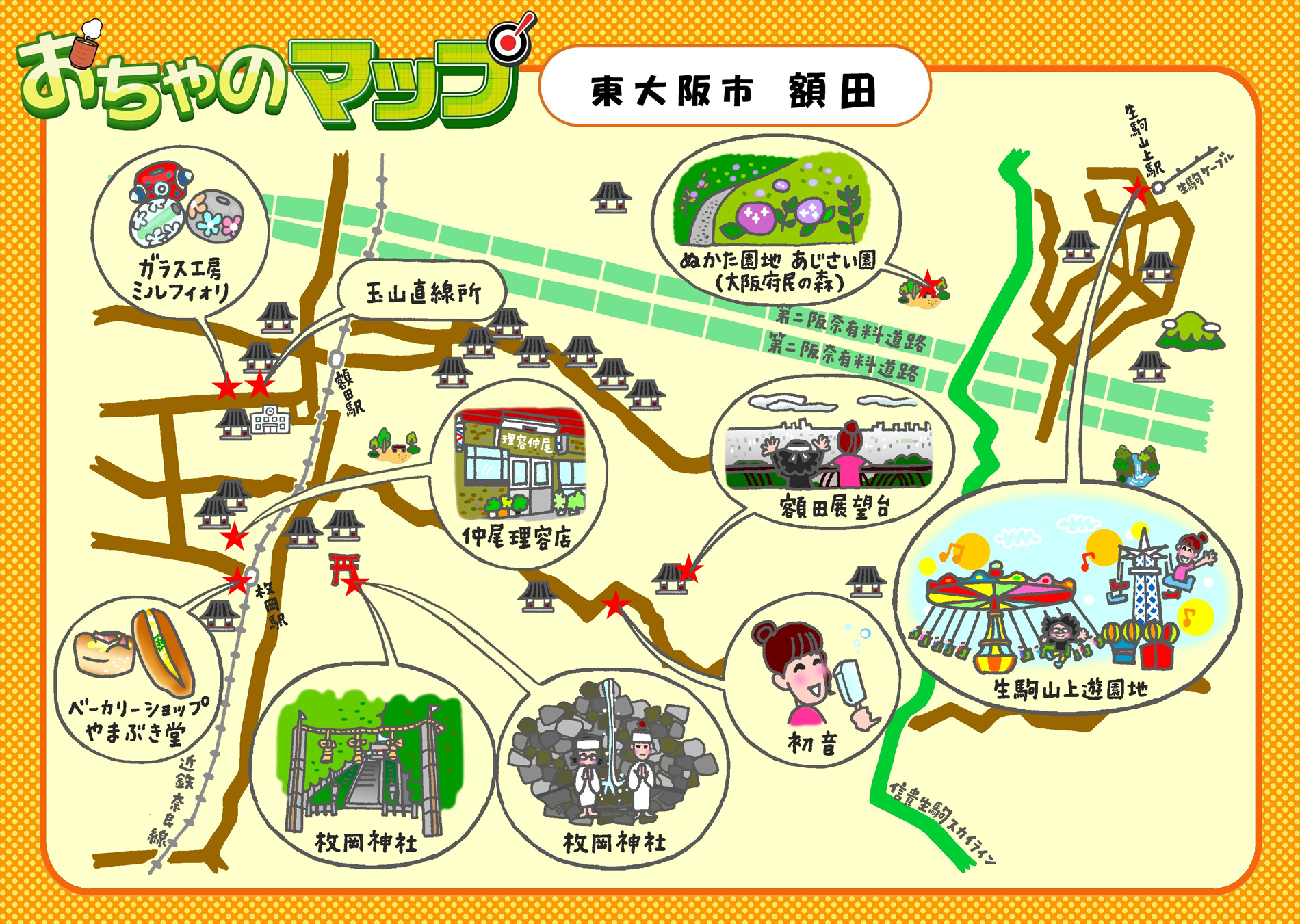
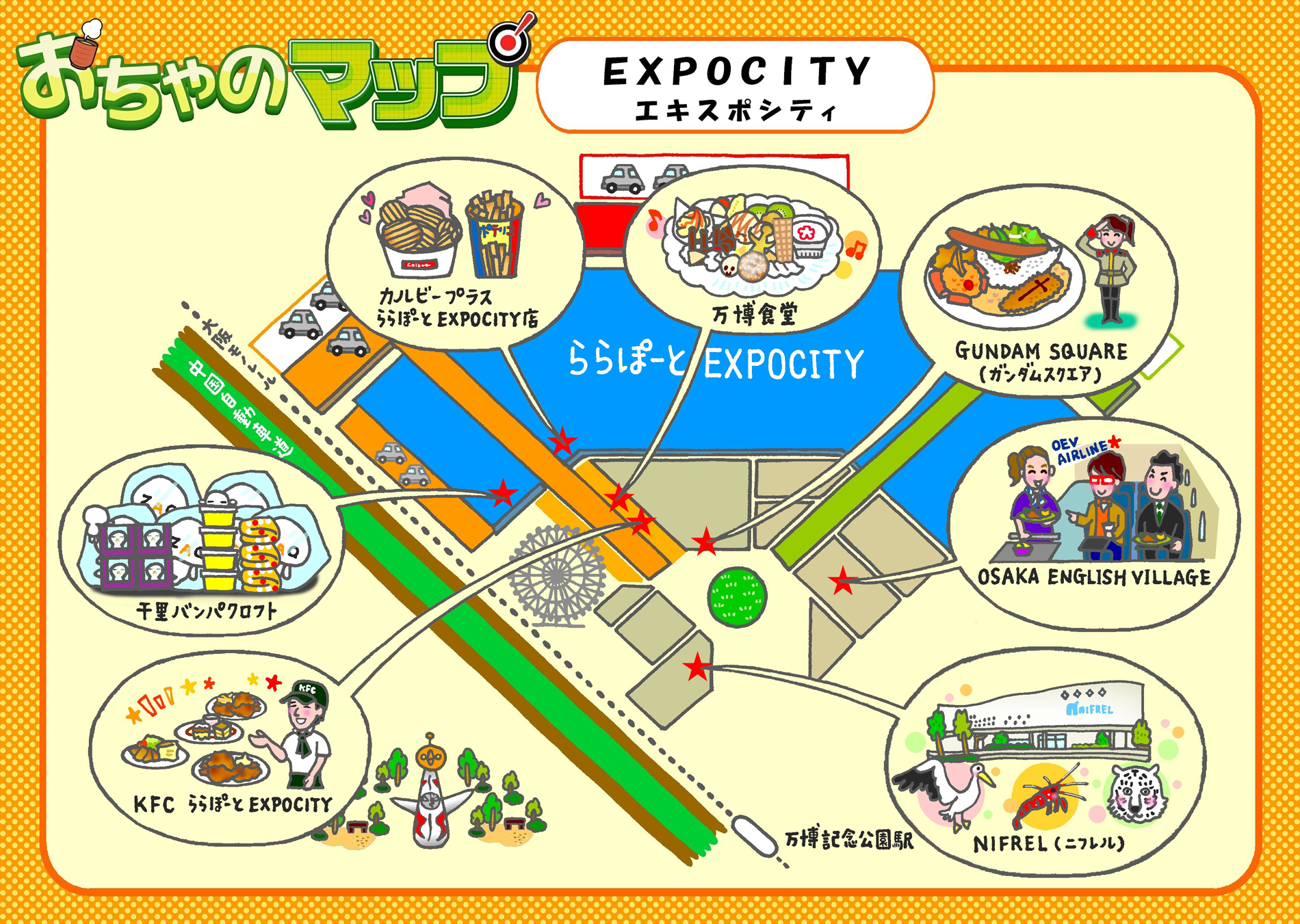
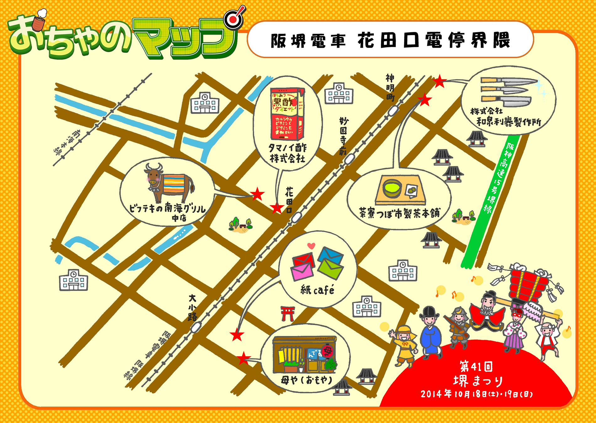
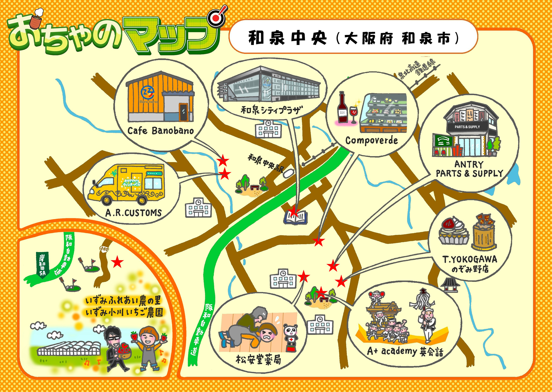
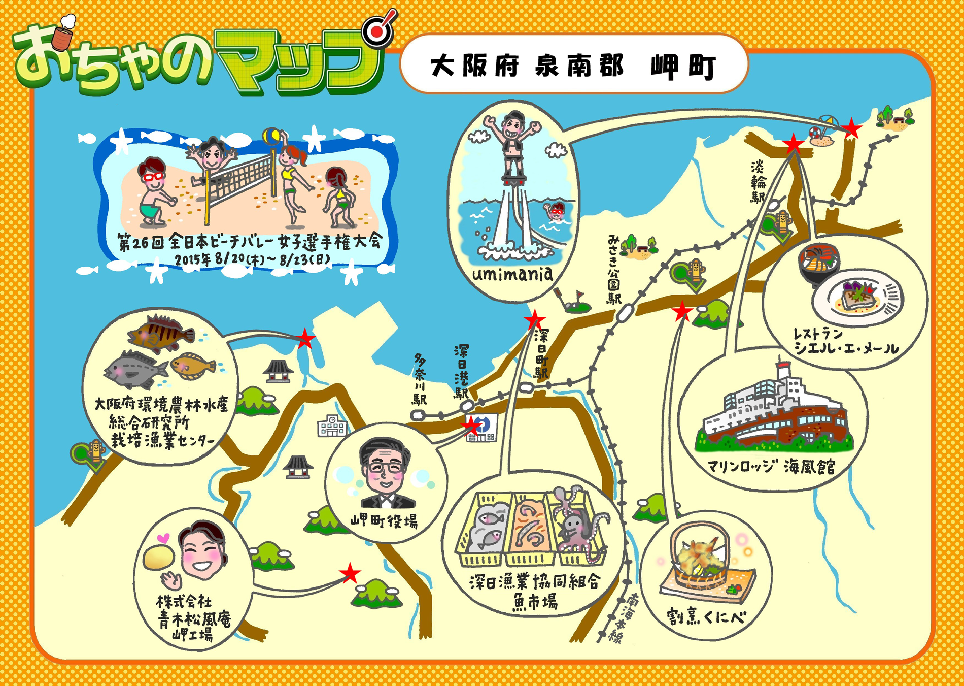
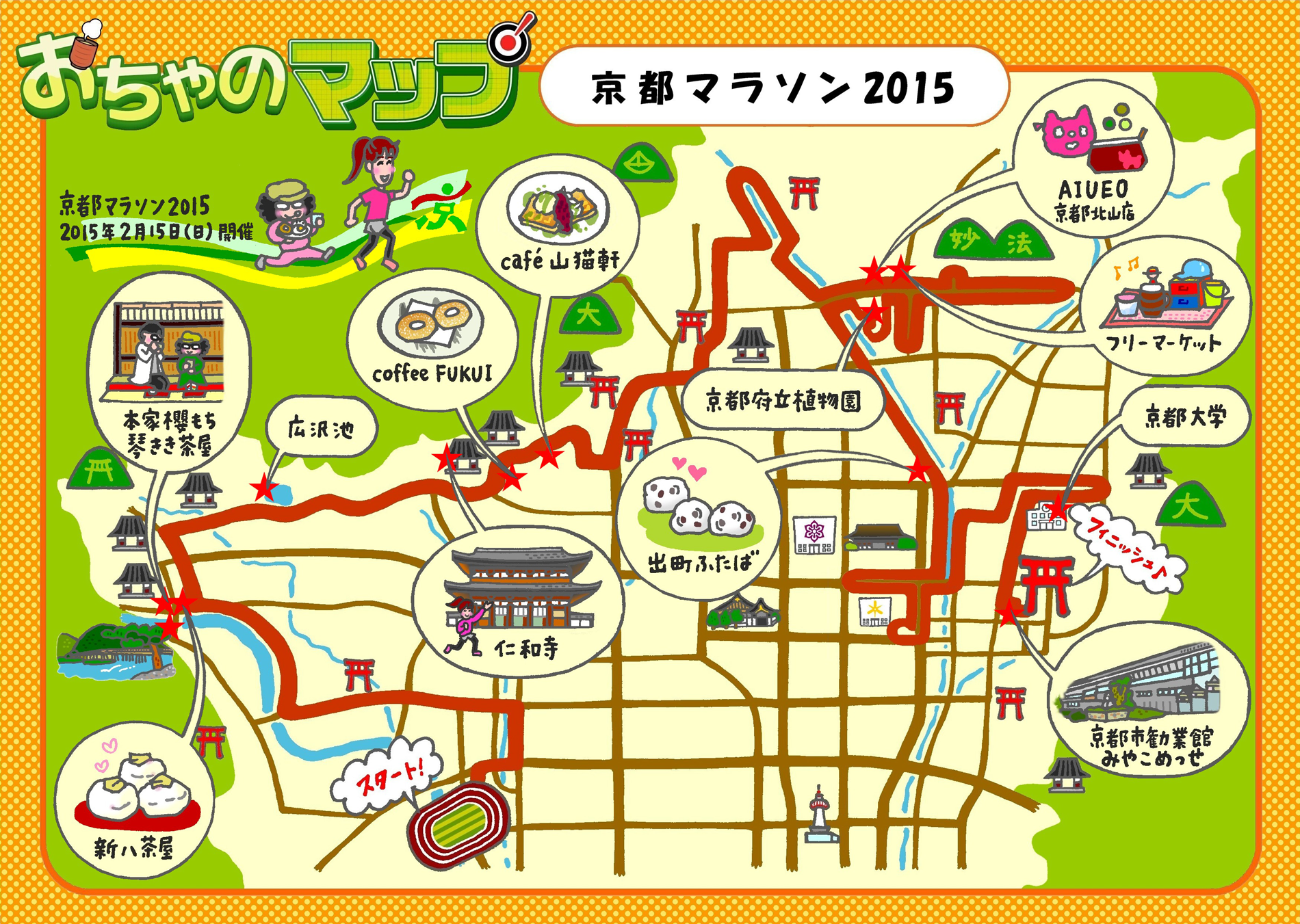
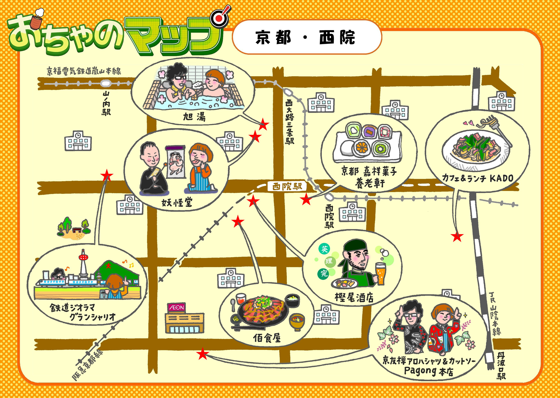
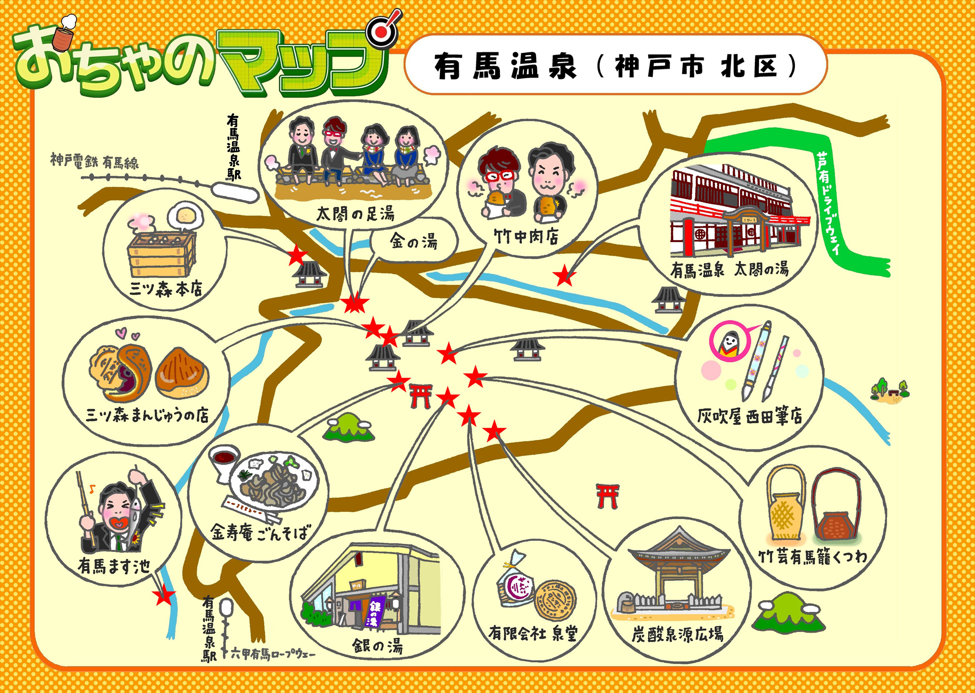
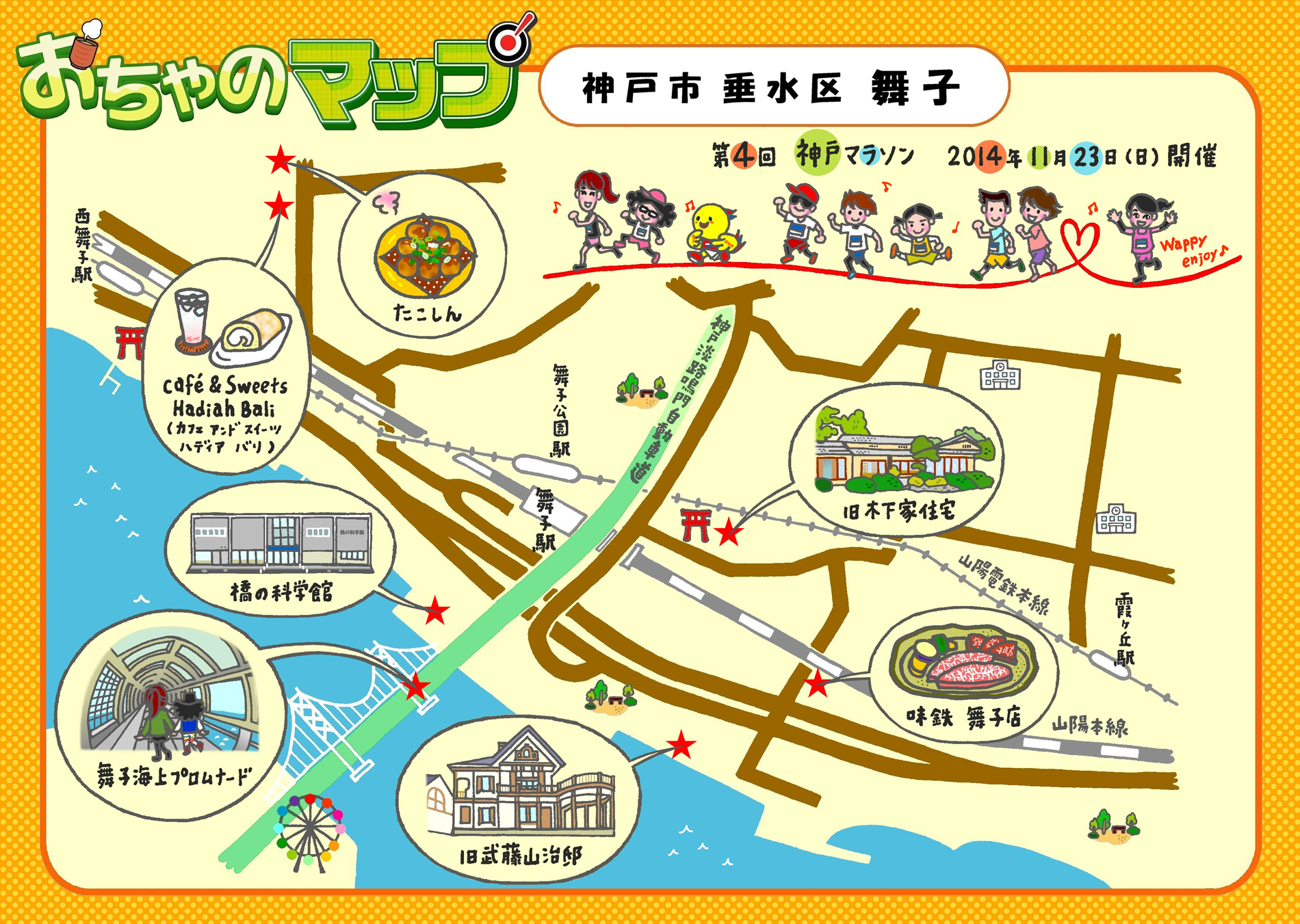
(2013_2016年:line マーカー手描き・color Photostudio)